
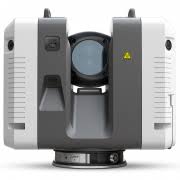
Leica RTC360 3D Laser Scanner
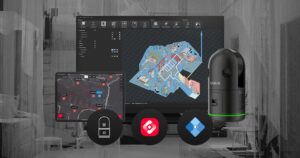
Automatically pre-register point cloud data in the field to quickly conduct quality control checks, improve productivity and make better-informed decisions on site
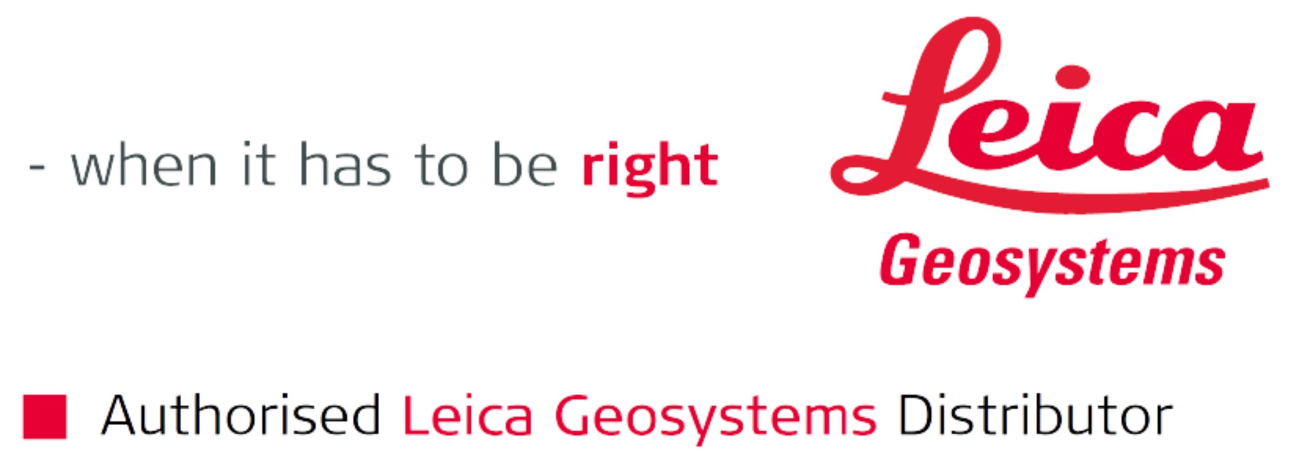
Leica RTC360 LT - 3D Reality Capture Solution
The Leica RTC360 3D reality capture solution empowers users to document and capture their environments in 3D, improving efficiency and productivity in the field and in the office through fast, simple-to-use, accurate, and portable hardware and software. The RTC360 3D laser scanner is the solution for professionals to manage project complexities with accurate and reliable 3D representations and discover the possibilities of any site.
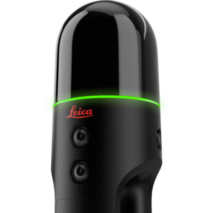
LEICA BLK360
The Leica BLK360 captures the world around you with full-colour panoramic images overlaid on a high-accuracy point cloud. Simple to use with just the single push of one button, the BLK360 is the smallest and lightest of its kind. Anyone who can operate an iPad can now capture the world around them with high resolution 3D panoramic images.
Leica BLK360 SE Essentials
Harness the power of three robust Leica Geosystems tools bundled into one streamlined solution that facilitates the creation of 3D and 2D models with ease. This package delivers all the necessary components to begin scanning and modelling right out of the box, making integrating 3D data capture into your workflow more accessible than ever.
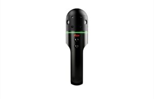
LEICA BLK2GO
The BLK2GO handheld imaging laser scanner recreates spaces in 3D as you move. It captures images and dimensionally accurate point clouds in real-time and uses SLAM technology to record your trajectory through space.
LEICA BLK2GO PULSE
The Leica BLK2GO PULSE is a handheld first-person laser scanner. Instantly capture what you need, when you need it, from your point of view. Using new, advanced reality capture technology, the BLK2GO PULSE delivers complete, colourised point clouds to your smartphone while you scan with no post-processing required. Used in combination with the BLK Live app, the BLK2GO PULSE fuses Leica Geosystems’ proven GrandSLAM technology with dual solid-state Time-of-Flight (ToF) LiDAR sensors to deliver a complete reality capture solution.
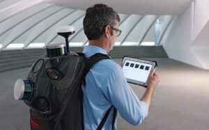
Leica Pegasus:Backpack
Advanced sensor technology and intelligent simplicity come together in the Leica Pegasus TRK portfolio, setting a new standard for mobile mapping. A seamless fusion of GNSS, LiDAR, and imaging sensors ensures rich, reliable data capture with minimal complexity.

LEICA BLK ARC
The Leica BLK ARC is an autonomous laser scanning module for robots. It is designed to be integrated with robotic carriers to enable autonomous mobile laser scanning with minimal or no human intervention. Users can simply plan a scan path and set BLK ARC off on its own to scan autonomously.
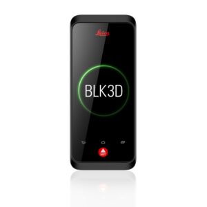
REAL-TIME, PROFESSIONAL GRADE, IN-PICTURE 3D MEASUREMENT.
The BLK3D combines a calibrated stereo camera, measurement sensors, software, and on-device edge detection capabilities to make in-picture measurements with professional-grade accuracy. Every image captured is a complete and precise 3D measurement record.
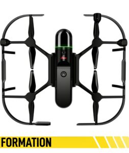
LEICA BLK2FLY
The Leica BLK2FLY is an autonomous flying laser scanner with advanced obstacle avoidance for easy reality capture from the sky. It captures building exteriors, structures, and environments to create 3D point clouds while flying. The BLK2FLY is designed to be easy-to-use: with a few simple taps on a tablet, users can set the BLK2FLY aloft to autonomously scan building exteriors and features, such as hard-to-access areas like rooftops and facades. Deploying the device itself is as easy as unfolding it, switching it on with the press of a button and placing it on the ground, ready for takeoff.